GIS: Querying Spatial Data with Natural Language A new prototype enables natural language interfaces for spatial databases running entirely locally.
#30DayMapChallenge: A new tool Day 17 showcased how new tools are expanding cartographic possibilities.
GIS: Meta releases SAM 3 The geospatial community gains a powerful new tool as Meta releases Segment Anything Model 3 (SAM 3), setting the stage for immediate integration into specialised packages.
#30DayMapChallenge: Fire From historical analysis to real-time alerts, Day 15's fire maps showcased the power of geospatial data.
#30DayMapChallenge: OpenStreetMap From glowing pedestrian networks to 3D cityscapes, the "OpenStreetMap" once again proved that a collaborative dataset can inspire stunning cartographic diversity.
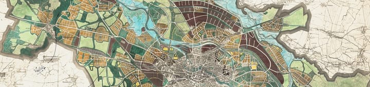
#30DayMapChallenge: 10 Minute Map When the clock starts ticking, creativity takes over. Discover how cartographers created stunning visualisations in just ten minutes for Day 13 of the challenge.