GIS: Crowd simulation comes to ArcGIS Urban planners can now simulate crowd movement directly in ArcGIS, allowing them to predict pedestrian bottlenecks and design safer, more efficient public spaces before they are built.
#30DayMapChallenge: Map from 2125 From drowned coastlines to interplanetary transit, these maps are less about predicting the future and more about using it as a canvas to explore the outer limits of cartographic imagination.
#30DayMapChallenge: Minimal When cartographers erase everything but the essential, a single line can become a country, a dot can represent millions, and a square can stand for a continent.
#30DayMapChallenge: Air From the silent journey of a migrating bird to the violent path of a typhoon, these maps give shape to the invisible forces moving through the air around us.
#30DayMapChallenge: Analog The top Analog maps from Day 9, featuring embroidery, hand-drawn sketches, and paper field maps that bring a tactile feel to cartography.
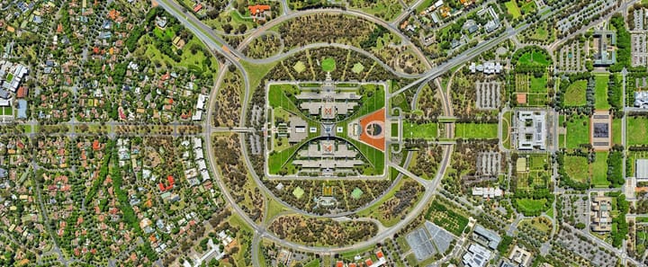
#30DayMapChallenge: Urban The top Urban maps from Day 8, featuring city footprints, building ages, and environmental risk.
#30DayMapChallenge: Accesibility From transit time to water access, discover how mappers redefined urban accessibility on Day 7.