
GIS: QGIS Meets Planetary-Scale Data
QGIS now integrates directly with Microsoft's Planetary Computer
Hello! Today is Friday and here’s your end-of-week-catch-up on all things geospatial.
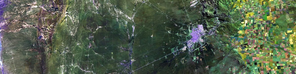
QGIS now integrates directly with Microsoft's Planetary Computer: A new STAC integration lets you stream cloud-optimised geospatial data directly from Microsoft Planetary Computer into QGIS, eliminating large downloads. This brings planetary-scale datasets directly into your favorite GIS environment for faster analysis.
AnyMap v0.6: The new release of AnyMap brings interactive layer styling and direct vector data editing to Python, making geospatial analysis in Jupyter notebooks more powerful and intuitive than ever.
Version control is coming to QGIS projects: Soon you'll be able to version your entire QGIS projects in PostgreSQL, thanks to a new feature developed in response to a user idea. This builds on Mergin Maps' existing versioning for vector data.
Instantly find global locations that match your criteria: This post introduces Geo-Spot, a new mini-tool that lets you quickly find places where specific conditions align—like ideal temperatures or populated flood-risk zones.
Experience our Planet's Real-Time Climate in motion: Earth Nullschool turns complex global climate data into a mesmerising, accessible visualisation of real-time weather, ocean currents, and more.
A full-featured GIS Studio that runs entirely in your browser: Geoverse is a new, privacy-focused WebGIS platform that lets you analyse and visualise spatial data locally using SQL, no installation, sign-up, or data uploads required. It's a powerful, lightweight alternative to both desktop and cloud GIS tools.
Instantly convert your GIS files for the Cloud: This tool fixes a common headache by converting traditional formats like Shapefiles and GeoTIFFs into cloud-optimized versions with one click. No installation or command line needed—just drag, drop, and get a web-ready file.
CURRNT: A new open-source framework that lets scientists deploy containerized models directly in the cloud using serverless architecture.
💡 Tip or resource of the week
- 50 Python libraries for GIS and RS
- GIS Toolbox: Get ready for the #30daymapchallenge!
- Get the free planner and tracker made by Karolina Lehotska.
- I'll be sharing my top 5 maps everyday. 👉 here
📝 Tutorials
- Free online introductory and intermediate GIS self-learning courses.
- Quality assurance for water distribution subnetworks using ArcGIS Utility Network.
- Rendering GBs of geospatial data without a heavyweight server.
- Multitemporal Monitoring of Water Bodies with Sentinel-1
📩 Newsletters you don’t want to miss:
- Remote Sensing News by Rafaela Tiengo
- Matt Forrest
🔎 Jobs lists
☕ Support the work
If you enjoy my content and want to support my work, you can buy me a coffee. It really helps keep these updates coming! ☕💛
📬 Stay Connected
Have an interesting GIS project or update to share? send it to me on LinkedIn!
That's all for now, see you soon. 🫶🏼
-Veronica


Comments ()