#30DayMapChallenge: Dimensions The top Dimensions maps from Day 6, featuring 3D population, ocean depths, and hurricane impacts.
GIS: Access satellite data with zero code using AI agents Using AI agents to search and visualise Microsoft Planetary Computer data with natural language
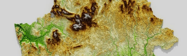
#30DayMapChallenge: Earth The top "Earth" maps from Day 5, featuring global forests, soil carbon, and planetary relationships.
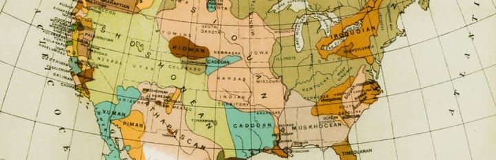
#30DayMapChallenge: My Data See how mappers turned their lives into art. Explore the most personal takes on Day 4's #30DayMapChallenge theme.
#30DayMapChallenge: Polygons The top 5 Polygons maps from Day 3, featuring urban timelines, border enclaves, and bathymetric masterpieces.
#30DayMapChallenge: Lines From tranquil train rides to furious cyclones, discover the top 5 line maps from Day 2 of the #30DayMapChallenge.