
💻Mapping the Future: Dr. Qiusheng Wu’s Innovations in Geospatial Technology
In the ever-evolving world of geospatial science, few individuals stand out as much as Dr. Qiusheng Wu. His groundbreaking work in geospatial technology, remote sensing, and environmental modelling has gathered significant attention in the field, positioning him as a leader and innovator in the application of these technologies. Dr. Wu’s contributions are not only advancing our understanding of the environment but also pushing the boundaries of what is possible with geospatial data.
A Passion for Wetlands Conservation
One of Dr. Wu's most notable projects is his work on wetlands conservation, showcased on his platform, wetlands.io. Wetlands are critical ecosystems that support biodiversity, improve water quality, and provide flood protection, yet they are often threatened by human activities and climate change. Dr. Wu has been at the forefront of using geospatial technologies to monitor, map, and analyse wetlands. His work emphasises the importance of these ecosystems and provides crucial data to inform conservation strategies.
Dr. Wu’s approach involves the integration of remote sensing and geographic information systems (GIS) to create detailed maps and models of wetland areas. This not only aids in understanding the current state of these ecosystems but also helps predict future changes under various environmental scenarios. By making these tools and data accessible, Dr. Wu empowers researchers, policymakers, and conservationists to take informed actions to preserve these vital ecosystems.
Innovating Geospatial Education
Beyond his research, Dr. Wu is also a passionate educator, as evidenced by his course, Introduction to GIS Programming, at the University of Tennessee. This course provides an in-depth exploration of GIS programming using the Python programming language. Students learn how to leverage various Python libraries and frameworks to process, analyse, and visualise geospatial data.
What makes this course particularly exciting is Dr. Wu’s focus on hands-on learning, encouraging students to actively engage with real-world data and tools. The course syllabus reflects Dr. Wu's commitment to equipping students with practical skills in GIS programming. He emphasises the use of open-source software and data, ensuring that students not only learn the theoretical aspects of GIS but also how to apply these concepts using tools that are freely available and widely used in the industry. This approach not only democratises access to geospatial education but also prepares students to contribute meaningfully to the field upon graduation.
Open-Source Tools in GIS
Dr. Wu is a strong advocate for open-source tools in GIS, particularly in the use of Python and R for geospatial analysis. His contributions to the development of geospatial libraries and tools have been widely recognised, and his work is frequently shared with the broader geospatial community. In a recent LinkedIn update, Dr. Wu highlighted his ongoing efforts to make advanced geospatial analysis more accessible through open-source platforms.
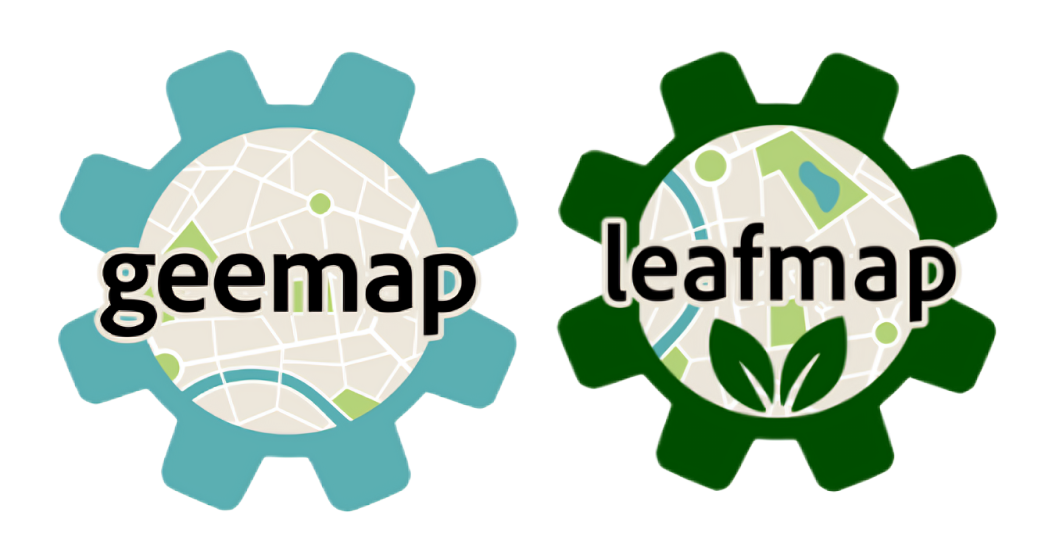
One of Dr. Wu’s significant contributions is the development of tools like geemap, which facilitates the use of Google Earth Engine with Python. This tool is especially useful for researchers and practitioners who need to analyse large datasets or perform sophisticated spatial modelling. Additionally, his work on other projects, such as lidar for LiDAR data processing in Python, demonstrates his commitment to making high-quality geospatial tools accessible to a wide audience. By making these tools open-source, Dr. Wu ensures they are available to everyone, from students to seasoned professionals.
The Impact of Dr. Wu’s Work
The impact of Dr. Qiusheng Wu’s work extends far beyond academia. His innovations in wetland conservation, geospatial education, and the development of open-source tools are helping to shape the future of geospatial science. By combining his expertise with a commitment to open access and education, Dr. Wu is not only advancing the field but also fostering the next generation of geospatial scientists.
For those interested in exploring the cutting edge of geospatial science, Dr. Qiusheng Wu’s work is a must-follow. His dedication to wetlands conservation, his innovative teaching methods, and his commitment to open-source geospatial tools are paving the way for a more informed and sustainable future.
So...
If you’re inspired by Dr. Qiusheng Wu’s work and want to support his ongoing efforts to develop innovative geospatial tools and research, consider buying him a coffee! Your support helps fuel the creation of more open-source resources that benefit the entire geospatial community. You can show your appreciation by visiting his Buy Me a Coffee page.
Check out Dr. Wu's work


 Google Earth Engine


Comments ()