#30DayMapChallenge: A new tool Day 17 showcased how new tools are expanding cartographic possibilities.
#30DayMapChallenge: Fire From historical analysis to real-time alerts, Day 15's fire maps showcased the power of geospatial data.
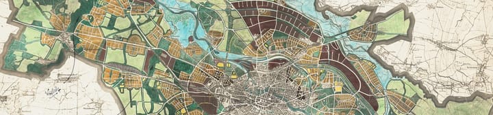
#30DayMapChallenge: OpenStreetMap From glowing pedestrian networks to 3D cityscapes, the "OpenStreetMap" once again proved that a collaborative dataset can inspire stunning cartographic diversity.
#30DayMapChallenge: 10 Minute Map When the clock starts ticking, creativity takes over. Discover how cartographers created stunning visualisations in just ten minutes for Day 13 of the challenge.
#30DayMapChallenge: Map from 2125 From drowned coastlines to interplanetary transit, these maps are less about predicting the future and more about using it as a canvas to explore the outer limits of cartographic imagination.
#30DayMapChallenge: Minimal When cartographers erase everything but the essential, a single line can become a country, a dot can represent millions, and a square can stand for a continent.